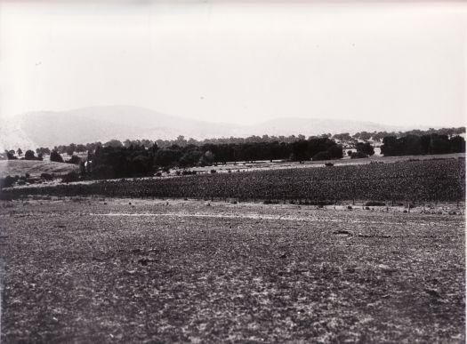
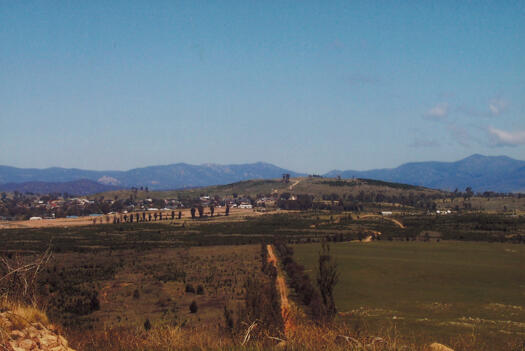
#21536 - Panorama from Misery Hill, Molonglo
- Resource IDLocation
- 21536Photograph 5437 A (
- Title/subtitle
- Panorama from Misery Hill, Molonglo
- Author/Creator
- Hall, Michael
- Picture
- Format
- Photograph
- Publisher
- 21 September 2007
- Physical description
- 12 colour photographs; 10cm x 15cm
- Summary
- No. 1 in a series of 12 photos providing a panorama of the view from Misery Hill (now Barrer Hill) to Duffy, Stromlo Forest Park, Wright, Coombs, Mt Stromlo, Denman Prospect, Misery Point, Piney Creek, Coppins Crossing, Whitlam, The Pinnacle and Glenloch.
- Availability
- Not for loan. Copies available for purchase.
- Notes
- Grid ref 863909. Area part of the new town of Molonglo. Misery Hill was named as Barrer Hill in 2014. (1) Narrabundah Hill / Duffy, (2) Stromlo Forest Park, (3) Mt Stromlo, (4) Mt Stromlo, (5) Uriarra Rd, (6) Towards Piney Ck, (7) Coombs, (8) Molonglo, (9) Molonglo, (10) Coppins Crossing, (11) The Pinnacle, (12) Glenloch