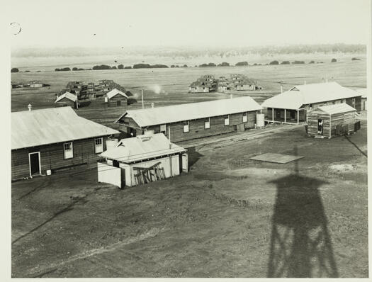
#19228 - H11A - Tuggeranong Trig
- Resource IDLocation
- 19228Cabinet 1
- Title/subtitle
- H11A - Tuggeranong Trig
- Author/Creator
- Survey Branch, Department of Interior
- Format
- Map
- Physical description
- Detail map, scale 1:2400
- Summary
- Shows features of area surrounding Tuggeranong Trig including Tuggeranong Creek. The area is now covered by the suburbs of Oxley and Greenway and Lake Tuggeranong
- Notes
- ACT Detail Series

